
Discover Nature's Haven: Nilgiri Hills Trek! Spectacular views, lush landscapes. Join the adventure today!
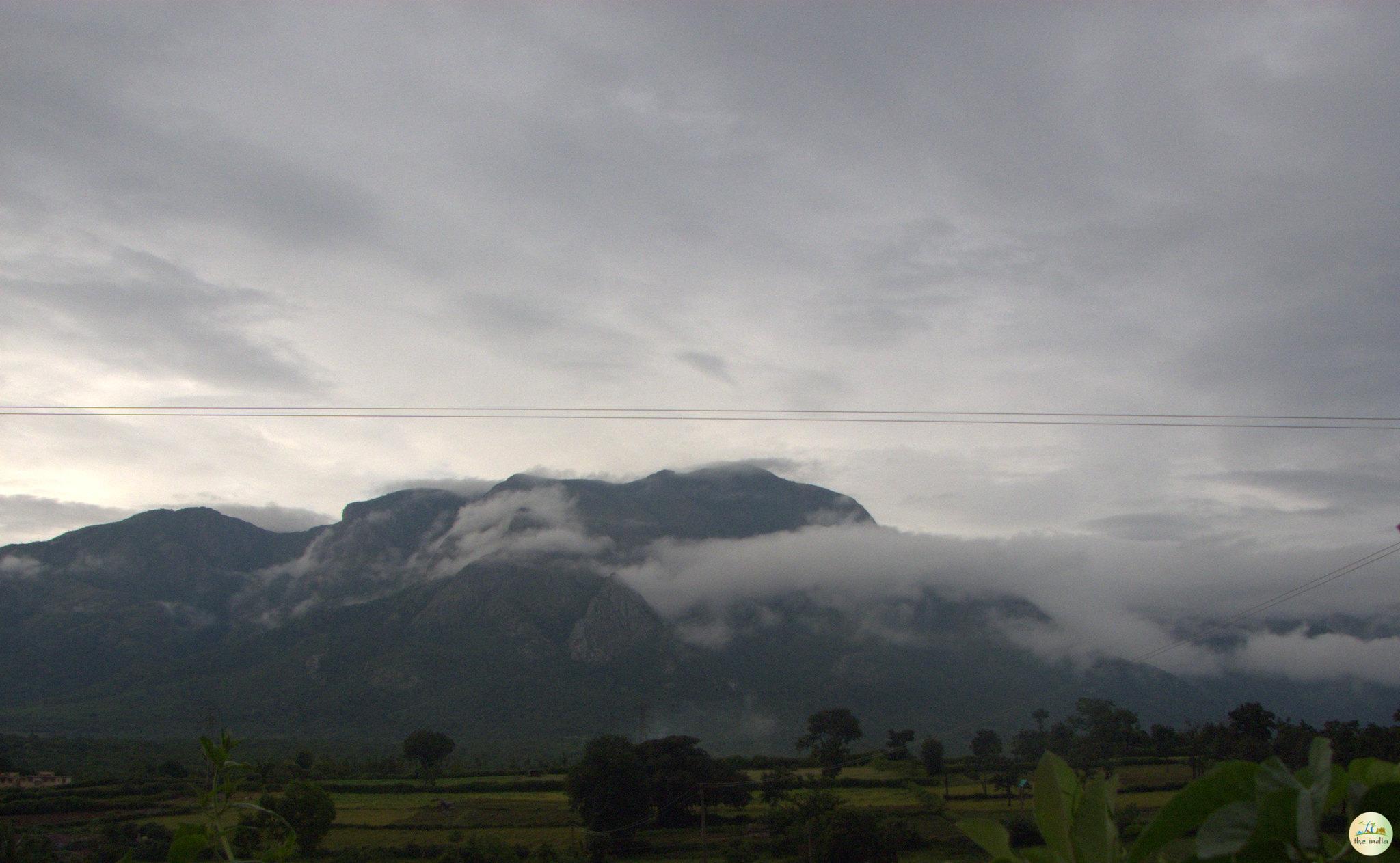
Explore Nilgiri Hills Trek through captivating images that showcase their rich culture, history, and charm.
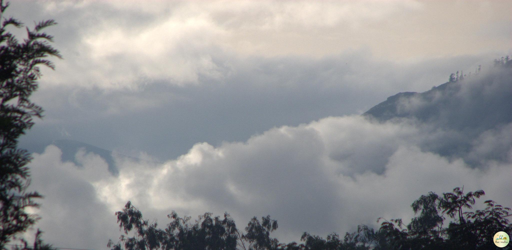
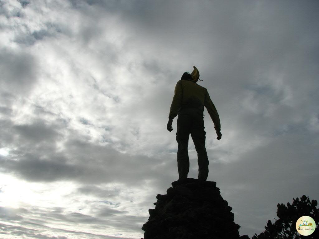
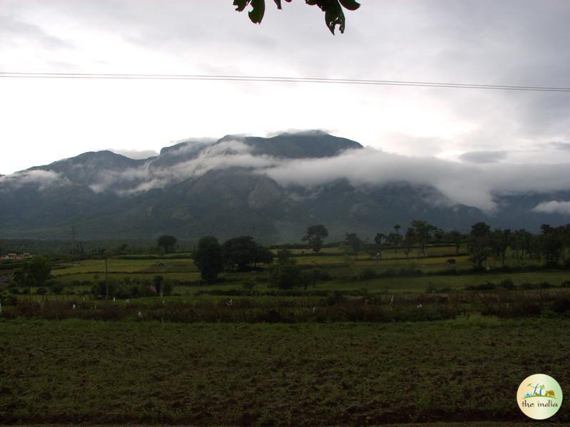
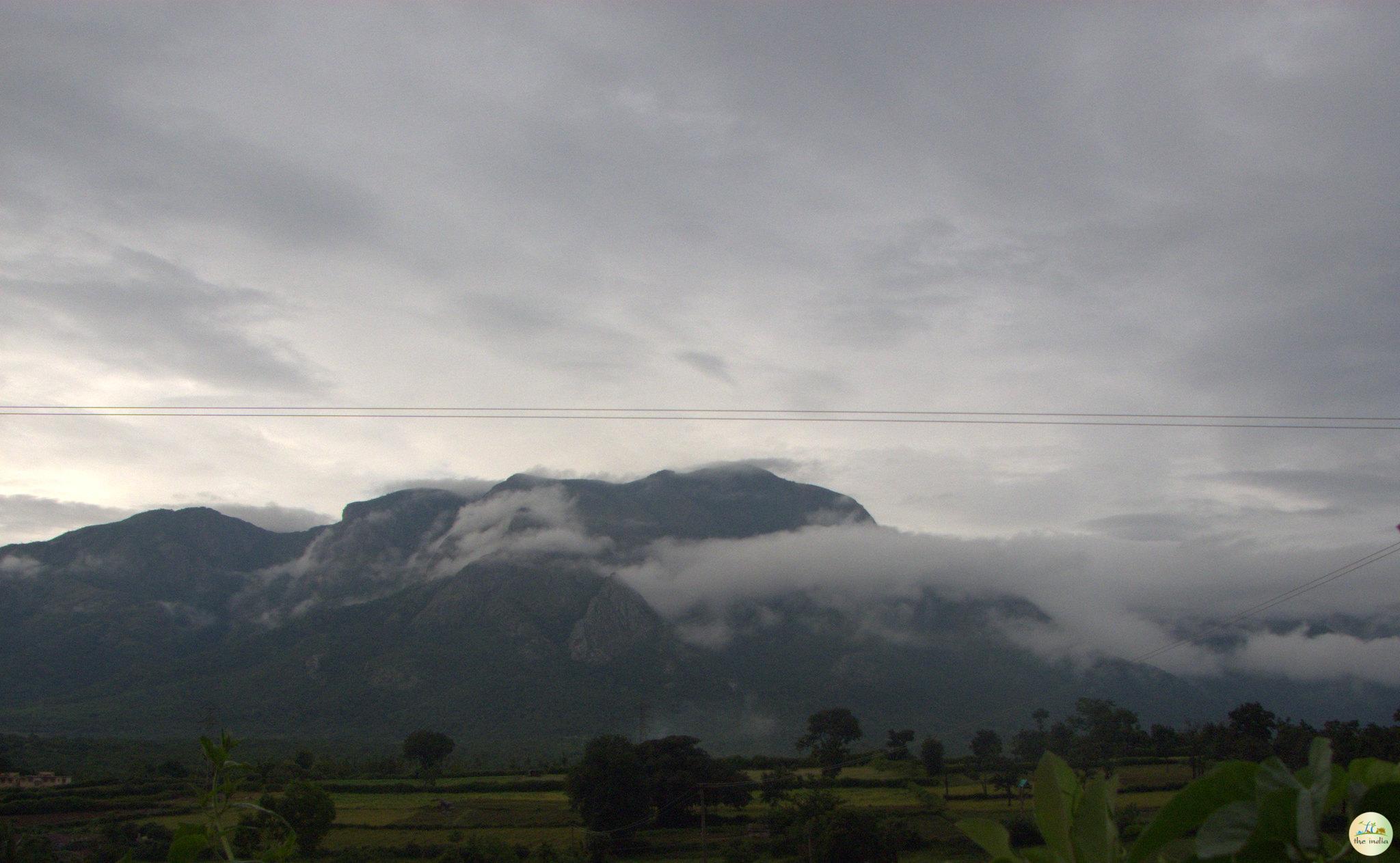
Nilgiri Hills Trek covers one of the most enjoyable trekking terrain in South India, spread across the Nilgiris district in Tamil Nadu and reaching to the Kerala border within the Western Ghats. The Nilgiris, meaning Blue Mountains, are located at heights between 900 meters and 2,637 meters above sea level. Doddabetta Peak, the highest point in the Nilgiri range at 2,637 meters, is also the highest peak in the entire Nilgiris and is reachable from Ooty town, which serves as the main base for most trekkers.
The charm of trekking in the Nilgiris goes beyond altitude. The trails pass through three distinct vegetation types: shola forests (thick, damp cool-and-wet forests unique to the Western Ghats), open grassy land that spreads across the higher hilltops, and tea estates that cover large parts of the middle slopes. Wildlife in this region includes the Nilgiri tahr, sambar deer, leopard, and a very large variety of birds. The area overlaps with Mukurthi National Park, which is a UNESCO World Heritage Site under the Western Ghats listing.
The main trekking bases in the Nilgiris are Ooty, Coonoor, Kotagiri, and the areas around Mukurthi National Park. Each base gives access to different trail types — from short day hikes near Ooty to multi-day wilderness treks inside the national park buffer zone.
| Information | Details |
| Location | Nilgiris district, Tamil Nadu / Kerala border, Western Ghats |
| Famous For | Doddabetta Peak, shola forests, tea estates, Nilgiri tahr wildlife |
| Entry Fee | Entry fees for trekking in the Nilgiri Hills depend on the trail and zone |
| Trekking Timings | 6:00 am to 5:00 pm (most trails) |
| Best Time to Visit | October to June |
| Main Base Towns | Ooty, Coonoor, Kotagiri, Mukurthi area |
The Nilgiri Hills have been a known destination for visitors since the early 19th century, when British colonial officers established hill stations in the area to escape the plains heat. Ooty (Udhagamandalam) was developed as the summer headquarters of the Madras Presidency, and the town at over 2,200 meters became the administrative hub of the hills. The Nilgiri Mountain Railway, a UNESCO World Heritage railway line that runs from Mettupalayam to Ooty, was built in stages between 1899 and 1908 and is still working today.
Organised trekking in the Nilgiris as a recreational activity grew significantly after the 1980s, when trails around Doddabetta, Mukurthi, and the upper shola forests became popular with adventure tourism groups from South India. The Forest Department now manages access to protected zones and issues permits for certain trail sections. Mukurthi National Park, covering about 78 square km of the western plateau, is one of the few areas in South India where trekking inside a core national park zone is controlled but allowed with prior permission.
Nilgiri Hills Trek in Tamil Nadu is famous for combining accessible high-altitude terrain with some of the richest biodiversity in South India. It attracts trekkers, birdwatchers, nature photographers, and botanists from across the country and from abroad.
| Trail / Zone | Trail Name | Altitude |
| Doddabetta Peak area | Doddabetta Peak Trail | 2,637 meters |
| Forest Dept protected trails | Avalanche Lake Trail | Approx. 2,500 meters |
| Mukurthi National Park (buffer zone) | Mukurthi Peak Trail | 2,554 meters |
| Open hillside and estate trails | Kotagiri–Elk Falls Trail | Approx. 1,950 meters |
Most trails in the Nilgiri Hills are open from 6:00 am to 5:00 pm. Trekkers are advised to start early — by 6:00 am or 7:00 am — to make the most of clear morning conditions and return before afternoon mist sets in on the higher hilltops. The Forest Department office in Ooty, which issues permits for restricted trails, generally opens at 9:00 am on working days.
The best time for trekking in the Nilgiri Hills is from October to June. Within this window, October to February is ideal for clear sky conditions and comfortable temperatures. March to May is slightly warmer at lower altitudes but the higher trails remain cool. June marks the beginning of the pre-monsoon period and trails are still usable.
July and August are the peak monsoon months in the Nilgiris and are best avoided for trekking. Rainfall is heavy, trail surfaces become very slippery, leeches are active on forest trails, and visibility is poor on the upper hilltops. September is transitional — rain begins to ease, but trails take time to dry out. The best time of day to start a trek in the Nilgiris is between 6:00 am and 7:00 am to get the clearest views before cloud cover builds up.
Trekkers spending multiple days in the Nilgiris often combine the hills with a visit to Yercaud hill station in Salem district or with the wildlife sanctuary areas around Mudumalai, which borders the Nilgiris district to the north. The Adiyogi Shiva Statue at the Isha Yoga Center in Coimbatore is also about 99 km away and is popular with visitors coming from the plains.